Maps of Puerto Rico
A collection of numerous maps of Puerto Rico.


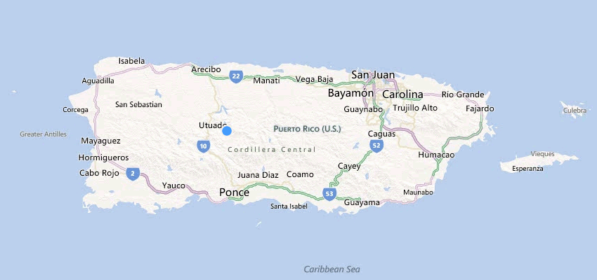
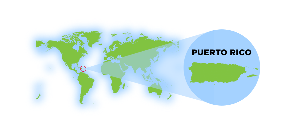
Where is Puerto Rico located?
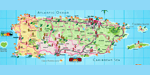
Puerto Rico is a Caribbean island situated between the Caribbean Sea and the North Atlantic Ocean, offering a strategic location at the crossroads of the Americas. The island lies east of the Dominican Republic and approximately 1,000 miles (1,600 km) southeast of Miami, Florida.
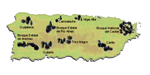
As the smallest and easternmost island of the Greater Antilles, Puerto Rico serves as a bridge between North and South America, making it a vital hub for trade, culture, and tourism. The island is also surrounded by 143 small islands, islets and cays, including Vieques, Culebra, Desecheo, Culebrita, Palomino, Mona, and Monito, each adding to Puerto Rico's rich natural beauty and ecological diversity.
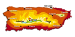
Puerto Rico's geographic location places it in the tropical zone, resulting in year-round warm temperatures, lush landscapes, and stunning coastlines. Its position also makes it a prime destination for cruises, shipping routes, and international travel, with Luis Muñoz Marín International Airport (SJU) serving as a major gateway between the Caribbean, Latin America, and the United States.
Did You Know?
The Camuy River flows both above and below ground, disappearing into limestone formations before reemerging downstream.
This is your comprehensive guide to La Isla del Encanto.