Moca, Puerto Rico
(MO-kah)
Moca is known as "La Ciudad del Mundillo" (bobbin lace capital). Moca was founded in June 22, 1772 by José de Quiñones.
Moca is located in the northwest region of the island, north of Añasco; southeast of Aguadilla; east of Aguada; and west of Isabela and San Sebastián.
There are many well-known "mocanos", among them:
- Antonio Caban Vale, "El Topo", folklore singer
- Enrique A. Laguerre Vélez, writer and educator
Moca is made up of 17 barrios (PDF) (wards/districts):
- Aceitunas
- Capá
- Cerro Gordo
- Cruz
- Cuchillas
- Marías
- Naranjo
- Plata
- Pueblo
- Rocha
- Voladoras
Restaurants
- Dannys Pinchos (Puerto Rican), (787) 877-0743
- Restaurante Chino Wing Hing (Chinese), (787) 862-6338
Accommodations
- Hacienda Los Castillos (Hotel),
(787) 877-4900
- La Rocha Inn Hotel (Hotel),
787-896-3238
Festivals and Events
- Festival del Camaron - May
-
Festival del Mundillo
- November
Moca welcomes everybody to its Bobbin Lace Festival. Exhibits of bobbin lace (mundillo) as well as other types of weaving and knitting take place at the plaza town. The festival also includes: weaving demonstrations, traditional music, food and drinks.(787) 818-0105
-
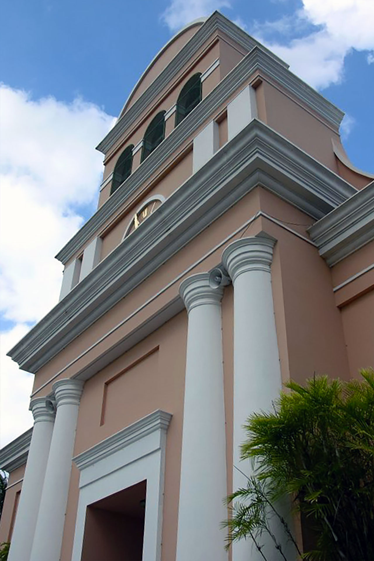
Fiestas Patronales Nuestra Senora de la Monserrate
- September
Every year, Moca celebrates a patron saint festival. The festivities include dances, food, parades and religious processions.(787) 877-2270
-
Mundillo Festival
- November
Moca celebrates every year this festival where you can view displays of delicate bobbin lace.(787) 877-2270
- Parranda del Enchaquetao - December
Displaying 5 results.
Symbols
Anthem: Doce barrios, doce estrellas...
Education
There are 17 public schools in Moca, education is handled by the Puerto Rico Department of Education.
Climate
10 Day Forecast from weather.com
Demographics *
Population
37,460
Land Area: 50.34 sq mi
Density: 706.1 per sq mi
Median Age: 41
Sex: 51% female
Economics **
$11,214
Median household income: $16,033
Puerto Rico: $21,058
Persons below poverty line: 53.3%
Housing, families and educational attainment *
Number of households
13,482
Housing units density:
333.7 (2013)
Persons per household: 2.62
High school grad or higher: 70.2%
Marital status: 48% married
* U.S. Census Bureau 2020 data, unless otherwise noted - Source: Quick Facts Puerto Rico.
** U.S. Census Bureau 2016-2020
Map References
Coordinates: 18.3947° N, 67.1133° W
ZIP Code: 676
Driving Distance from San Juan: 87 miles
Driving Time: 2 hours, 11 minutes
Did You Know?
The number of people living in Puerto Rico decreased by 142,000 (4.4%) from 3,337,000 in 2017 to 3,195,000 in 2018.
This is your comprehensive guide to La Isla del Encanto.