Guayanilla, Puerto Rico
(gwah-yah-NEE-yah)
Guayanilla is known as "El Pueblo que Corre en Yegua" (mare riders). Guayanilla was founded in February 27, 1833, by order of Governor Miguel de la Torre. Guayanilla derives its name from an Indian term: "Guaynia".
Agueybana who was the principal "Cacique" (chief) of the Tainos when the Spaniards first arrived and lived with his tribe in "Guaynia" (Guayanilla) located by the river of the same name. However, others claim that the location of the village was in Guánica.
Guayanilla is located in southern coast of the island, bordering the Caribbean Sea, south of Adjuntas, east of Yauco; and west of Peñuelas. Its rivers are: Guayanilla, Macaná and Yauco.
The surrounding areas produces sugar cane.
There are many well-known "guayanillenses", among them:
- Isaias Rodriguez Lopéz
- Eustaqui Pagan
- Dalilla Torres
- Heriberto Torres
- Alfredo Medona
- Aristides Cales Quiros
- Rafael D. Dapena
Guayanilla is made up of 17 barrios (wards/districts):
- Barrero
- Boca
- Cedro
- Consejo
- Indios
- Jagua
- Jagua Pasto
- Llano
- Macaná
- Magas
- Pasto
- Playa
- Quebrada Honda
- Quebradas
- Pueblo
- Rufina
- Sierra Baja
Restaurants
- El Golfito (Puerto Rican), (787) 835-4140
- Pichi's Steakhouse & Seafood (Sea Food/Steak/International), (787) 835-4140
Accommodations
Festivals and Events
- Carnaval del Pueblo - July
- Festival de la Chiringa - April
- Festival del Marisco - June
- Festival de Playa - May
- Fiestas de Cruz - May
- Fiestas Patronales Inmaculada Concepcion de Maria - December
Every year, Guayanilla celebrates a patron saint festival. The festivities include dances, food, parades and religious processions. (787) 835-2660 - Fiestas Virgen del Carmen - June
- Maraton Femenino - November
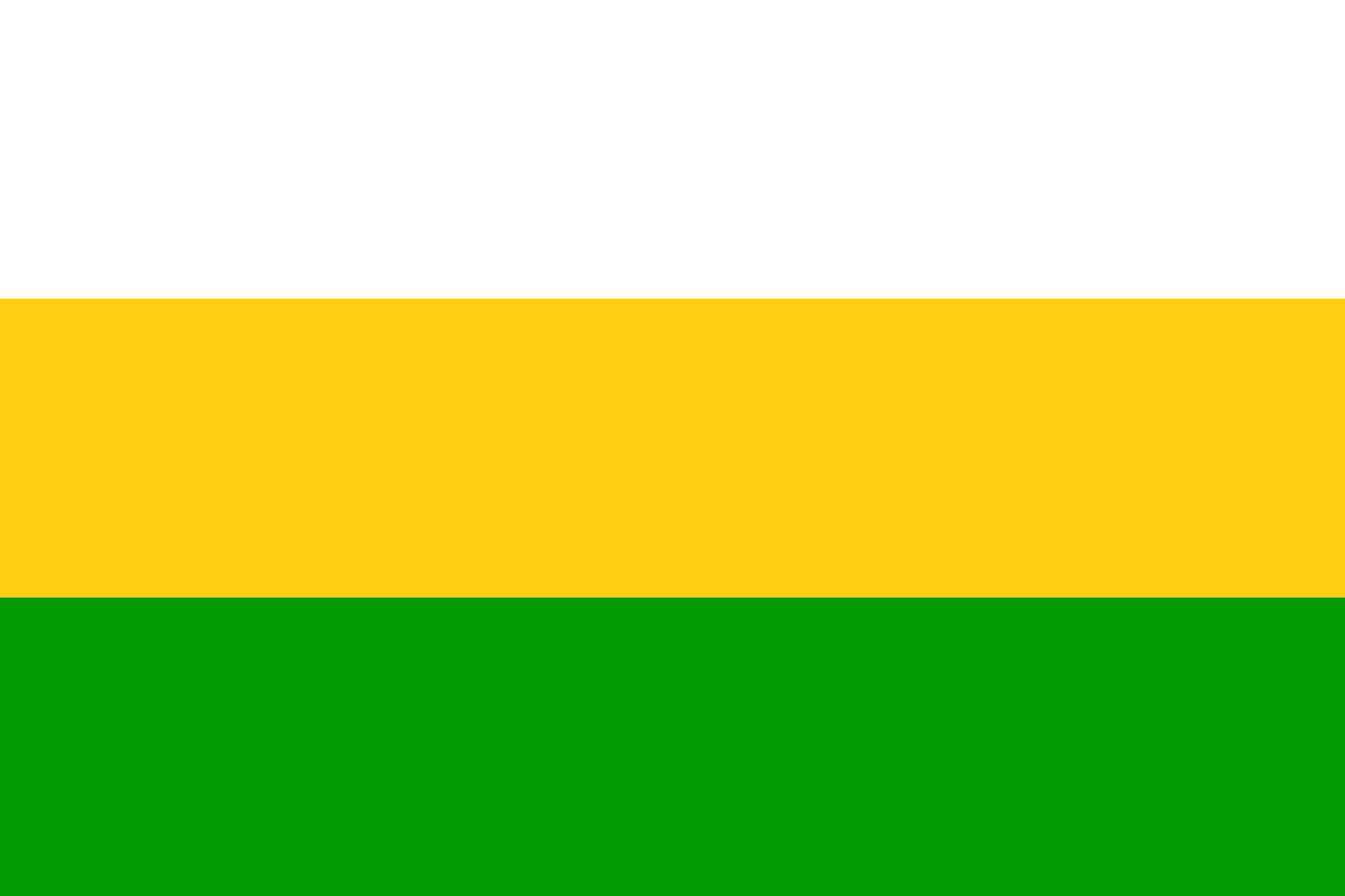
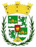
Symbols
Education
There are 12 public schools in Guayanilla, education is handled by the Puerto Rico Department of Education.
Climate
10 Day Forecast from weather.com
Anthem: Guayanillenses, cantemos unidos...
Demographics *
Population
17,784
Land Area: 42.27 sq mi
Density: 427.7 per sq mi
Median Age: 42.1
Sex: 53% female
Economics **
$8,980
Median household income: $17,796
Puerto Rico: $21,058
Persons below poverty line: 54.9%
Housing, families and educational attainment *
Number of households
6,539
Housing units density:
206.4 (2013)
Persons per household: 2.75
High school grad or higher: 77.2%
Marital status: 38% married
* U.S. Census Bureau 2020 data, unless otherwise noted - Source: Quick Facts Puerto Rico.
** U.S. Census Bureau 2016-2020
Map References
Coordinates: 18.0192° N, 66.7919° W
ZIP Code: 656
Driving Distance from San Juan: 91.3 miles
Driving Time: 2 hours, 8 minutes


